 www.geodatenkatalog.de (S3L)
Contact for the resource
GAF AG
16 record(s)
Provided by
Type of resources
Topics
Keywords
Contact for the resource
Update frequencies
-
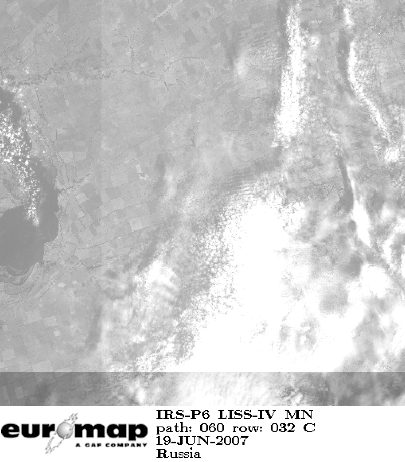
Indian Remote Sensing satellites (IRS) are a series of Earth Observation satellites, built, launched and maintained by Indian Space Research Organisation. The IRS series provides many remote sensing services to India and international ground stations. With 5 m resolution and products covering areas up to 70 km x 70 km IRS LISS-IV mono data provide a cost effective solution for mapping tasks up to 1:25'000 scale.
-

Indian Remote Sensing satellites (IRS) are a series of Earth Observation satellites, built, launched and maintained by Indian Space Research Organisation. The IRS series provides many remote sensing services to India and international ground stations. The revisit capability of only 5 days and the products coverage size of 370 km x 370 km make AWiFS products a valuable source for application fields such forestry and environmental monitoring
-

Indian Remote Sensing satellites (IRS) are a series of Earth Observation satellites, built, launched and maintained by Indian Space Research Organisation. The IRS series provides many remote sensing services to India and international ground stations. The satellite has two panchromatic cameras that were especially designed for in flight stereo viewing. However, this collection contains the monoscopic data.
-
Indian Remote Sensing satellites (IRS) are a series of Earth Observation satellites, built, launched and maintained by Indian Space Research Organisation. The IRS series provides many remote sensing services to India and international ground stations. With 5 m resolution and products covering areas up to 70 km x 70 km IRS PAN data provide a cost effective solution for mapping tasks up to 1:25'000 scale.
-
Indian Remote Sensing satellites (IRS) are a series of Earth Observation satellites, built, launched and maintained by Indian Space Research Organisation. The IRS series provides many remote sensing services to India and international ground stations. \\n\\nIRS LISS-III data are well suited for agricultural and forestry monitoring tasks. Because of their simultaneous acquisition with IRS PAN data and the availability of a synthetic blue band, LISS-III data are ideal for colouring IRS PAN products.
-
Indian Remote Sensing satellites (IRS) are a series of Earth Observation satellites, built, launched and maintained by Indian Space Research Organisation. The IRS series provides many remote sensing services to India and international ground stations. IRS LISS-III data are well suited for agricultural and forestry monitoring tasks. Because of their simultaneous acquisition with IRS PAN data and the availability of a synthetic blue band, LISS-III data are ideal for colouring IRS PAN products.
-
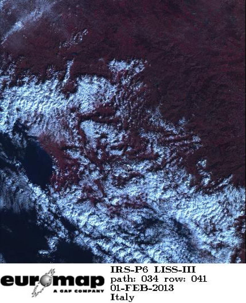
Indian Remote Sensing satellites (IRS) are a series of Earth Observation satellites, built, launched and maintained by Indian Space Research Organisation. The IRS series provides many remote sensing services to India and international ground stations. IRS LISS-III data are well suited for agricultural and forestry monitoring tasks.
-

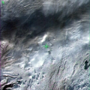
Indian Remote Sensing satellites (IRS) are a series of Earth Observation satellites, built, launched and maintained by Indian Space Research Organisation. The IRS series provides many remote sensing services to India and international ground stations. The revisit capability of only 5 days and the product coverage size of 800 km x 800 km make WiFS products a valuable source for application fields such as flood and snow melt monitoring.
-
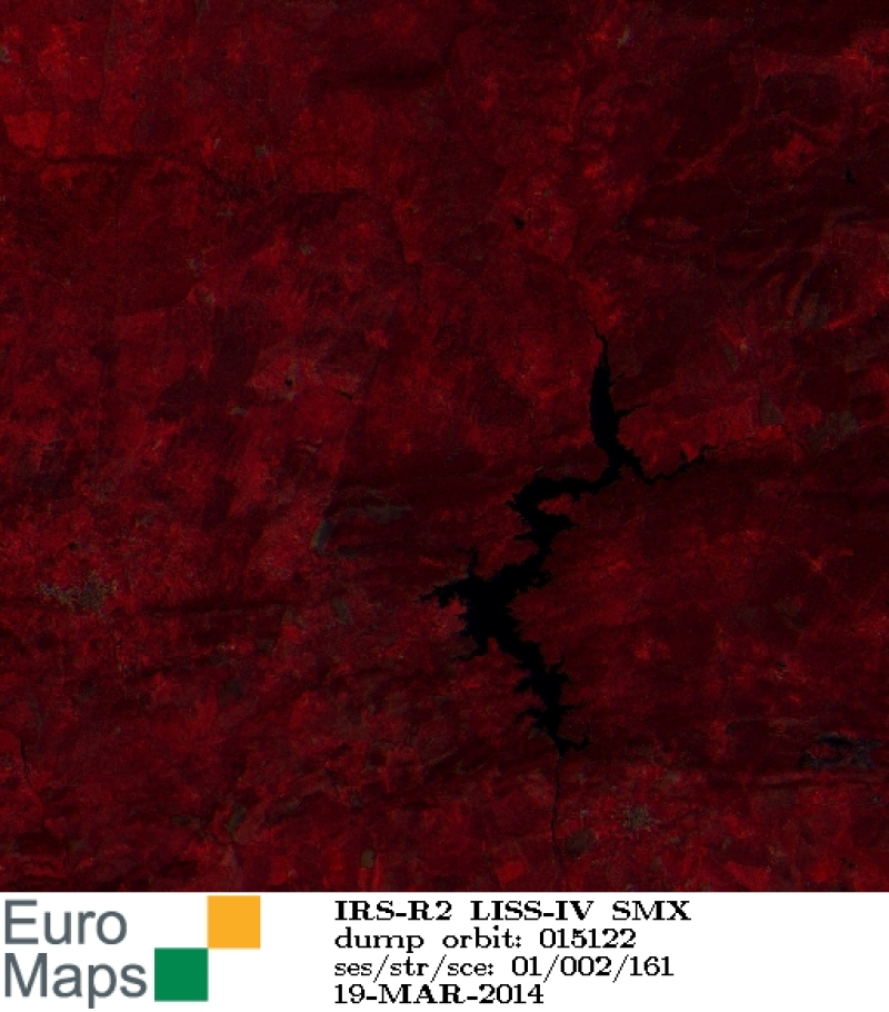
Indian Remote Sensing satellites (IRS) are a series of Earth Observation satellites, built, launched and maintained by Indian Space Research Organisation. The IRS series provides many remote sensing services to India and international ground stations. With 5 m resolution and products covering areas up to 23.5 km x 23.5 km IRS LISS-IV multispectral data provide a cost effective solution for mapping tasks up to 1:25'000 scale.
-
Indian Remote Sensing satellites (IRS) are a series of Earth Observation satellites, built, launched and maintained by Indian Space Research Organisation. The IRS series provides many remote sensing services to India and international ground stations. With 5 m resolution and products covering areas up to 70 km x 70 km IRS LISS-IV mono data provide a cost effective solution for mapping tasks up to 1:25'000 scale.